11
2013Haute Route Day 5 – Cabane du Mont Fort to Cabane de Prafleuri
When travelling from Cabane du Mont Fort the hiker is faced with a couple different route options. The more direct route, and also the one that’s recommended when weather is uncooperative, goes via the Col de la Chaux. The longer and more scenic route traverses above the valley floor and provides wonderful views of the Combin massif before traversing across three passes on the way to Cabane de Prafleuri. Since the weather report was good we chose the longer and more scenic option along with the rest of our travelling companions (and the rest of the overnight residents of the hut).
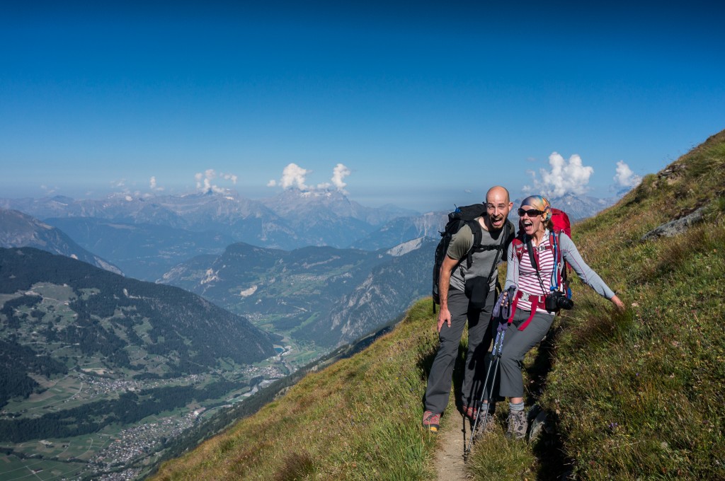
The path from Mont Fort initially drops down a couple hundred feet before starting a slowly climbing traverse that gently levels out and continues all the way to Col Termin. This section of the hike was spectacular with wonderful views up and down the valley as well as across the valley to the Combin massif. The trail was crowded with hikers, all of whom were stopping frequently to take pictures of the wonderful scenery. Several sections of the trail had chain handholds, though I never felt like I needed them or was in any danger of falling.
We all reached Col Termin in good time and enjoyed a snack while basking in the warmth of the sun. To say it was all glorious would be an understatement.
The path from Col Termin to Col de Louvie follows a nice traverse up the valley before climbing steeply to the col. Based on the elevation profile in the book I’d prepared myself to drop all the way to the valley floor and then climb back to gain the col. Thankfully, this wasn’t the case at all as our elevation loss was limited to probably less than 100 feet. However, this section of the hike took longer than expected, partially due to the up and down and partially because the last part of the climb to the col was quite steep.
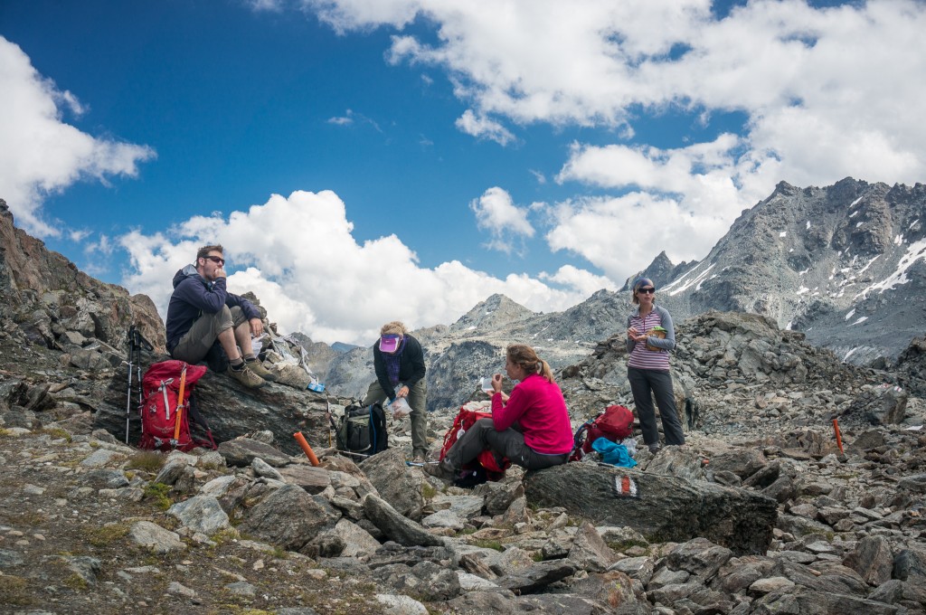
We all ate lunch at the col, by which time the sun was clouded over and the peaceful warmth we’d enjoyed at Col Termin was replaced with a brisk wind and a slight chill. Lunch was our staple of bread and cheese, with some potato chips and mixed nuts. It was refreshing and helped us recharge from the morning hike.
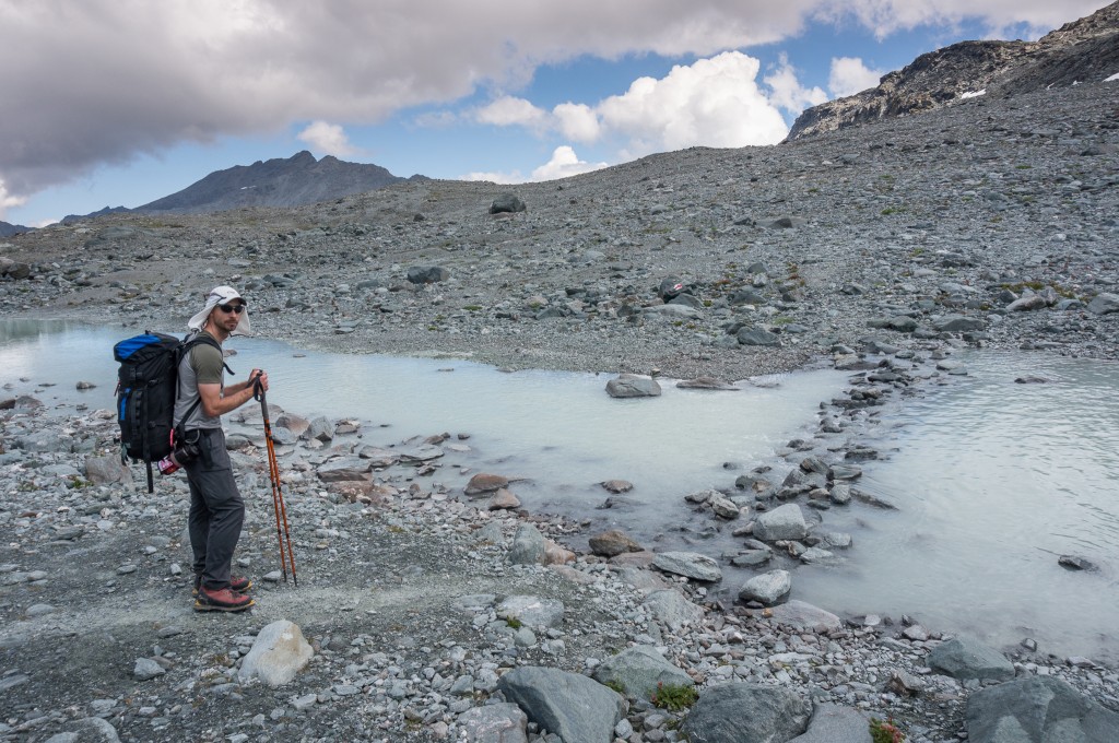
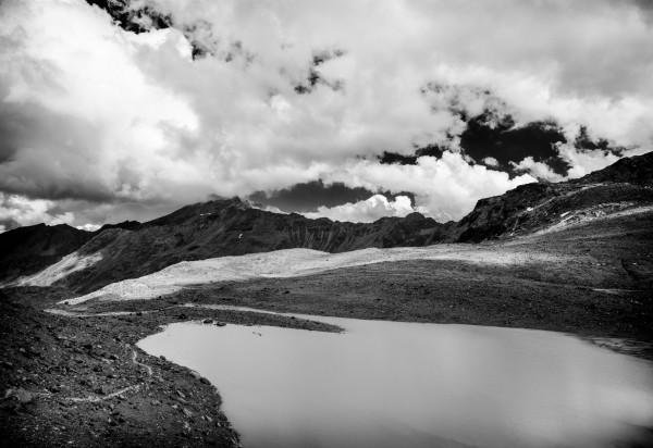
Looking out from the col the hike lead across the aptly named Grand Desert. This alpine valley is a wasteland left behind by a retreating glacier. It’s virtually devoid of life and could easily be a landscape from the moon. The path from the col leads steeply down towards the valley. On the way down, the guidebook suggests taking note of a very large painted trail marker on the other side of the valley to be used as a landmark. This is especially handy because the trail becomes much less distinct after crossing the small stream.
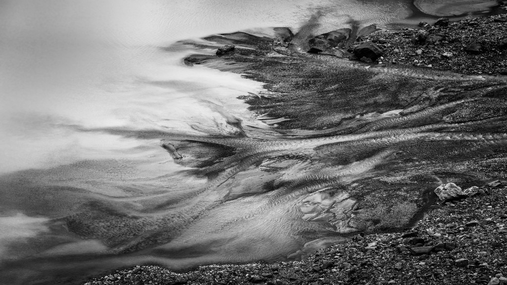
The glacier here is in full retreat, a small shadow of its once massive self. However, glacial outflow still forms small lakes and streams that add color and texture to the landscape and provide interesting patterns in the water.
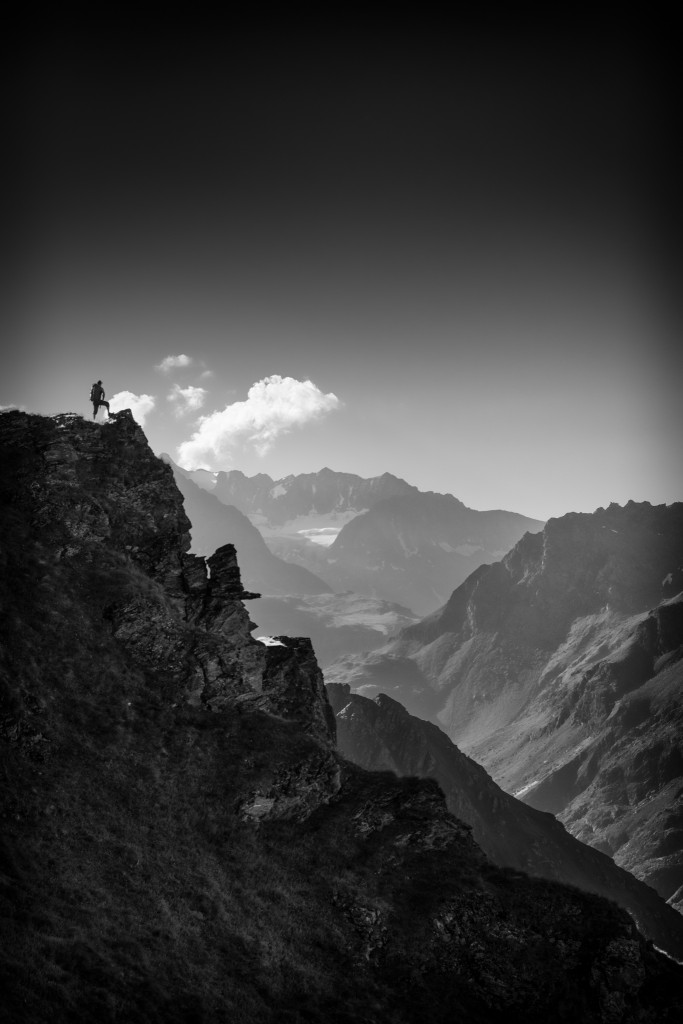
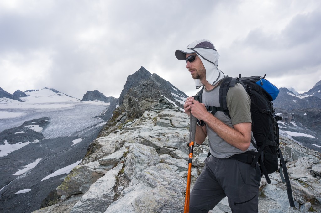
From the stream crossing, the trail makes its way steadily uphill to the large painted rock where it veers left and gains elevation steeply to a rocky bench that looks back over the valley, glacier, and Col Louvie. The trail then levels out and traverses open and rocky terrain before bending slightly right towards another valley where the trail descends almost vertically about 200 feet before beginning the last and final climb to Col de Prafleuri.
Mentally, I wasn’t really prepared for this last little valley and we both begrudged the elevation we lost as we hopped down from rock to rock. The guide book doesn’t really describe these sorts of small vertical changes but they are important to prepare for mentally so you can understand how to reserve energy and optimism. Regardless, we pushed on and were soon making the climb to the final col before reaching our hut for the evening.
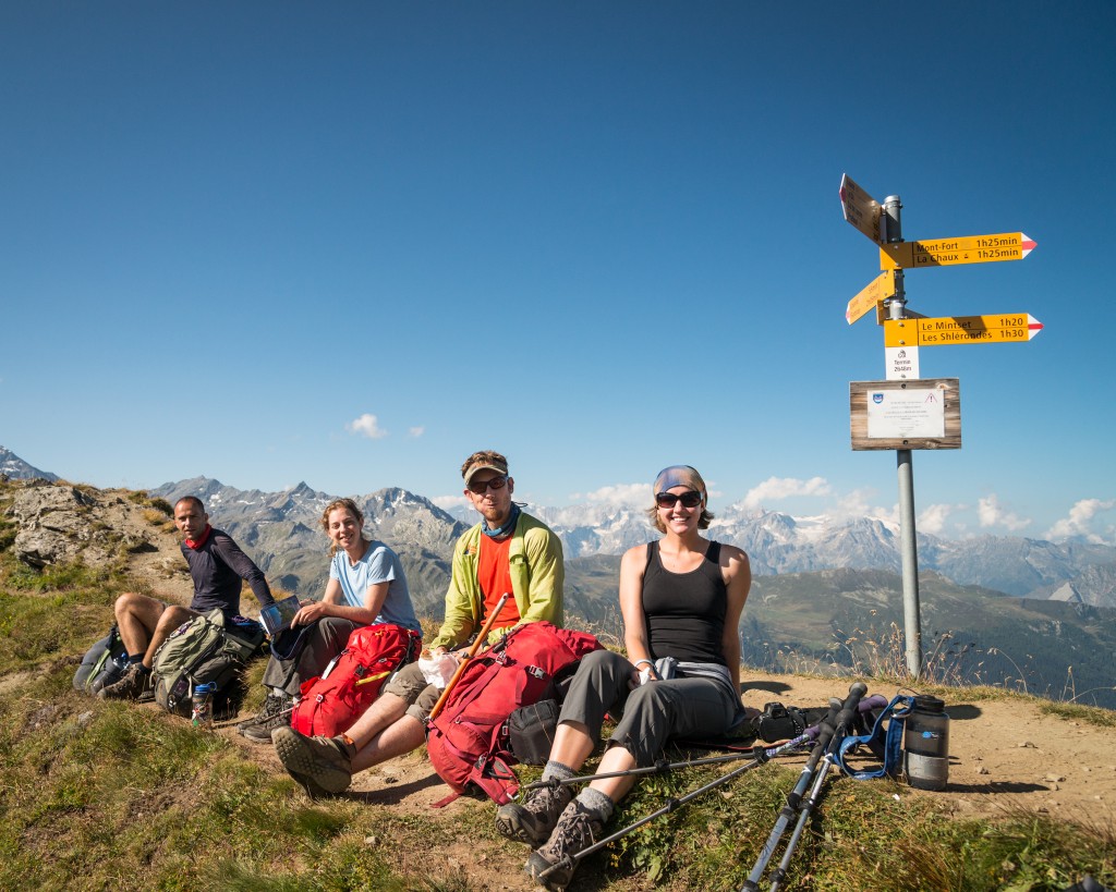
As we reached Col de Prafleuri, we found it to be rather crowded with the several groups who had set out that morning from Cabane du Mont Fort. This proved to be rather fortuitous since they pointed out a pair of ibex sitting on the hill no more than 100 yards away. I’d previously expected that I would be able to spot ibex rather easily, but these two blended in with the surrounding hillside so perfectly I would have never seen them unless they’d moved.
Anne and I recovered, snacked, and watched the ibex for some time before setting out for the final short leg to Cabane de Prafleuri, which we could see in the distance. The trail from the col was rather steep but uneventful. In truest form, the last short pitch to the hut involved a steep grunt of a hike that left us both winded but happy to have completed a long day.
Note: For Cabane de Prafleuri there are several things that would-be guests should be aware of. First, the showers only have limited hot water. Anne and I checked in and bolted for the showers as quickly as we could. However, we both had to wait 20 minutes to shower by which time the hot water was waning. Second, there’s limited power in the building unless you want to pay to turn on the outlet in your room. Resourceful individuals unplugged heaters in the bathroom and lobby to accommodate charging their phones. Finally, the water in the hut isn’t potable. This wasn’t a problem for us since we’d brought a Steripen, but others found it to be annoying that they had to purchase expensive water for the next day’s hike.
Max elevation: 9825 ft
Min elevation: 7749 ft
Bob Wilkinson
Hello Nate (and Anne!)–I’m thoroughly enjoying the wonderful photos and the accounts of the days on the Haute Route! I’m eagerly awaiting the next days’ installments–please keep them coming! Best regards, Bob from Ohio
Nathaniel Stott
Thanks Bob! I’m really enjoying putting it all together myself, though it’s taking a while to put the finishing touches up. Hope you had a great end to your trip and stay tuned for more adventures 🙂