03
2014The Tongariro Alpine Crossing
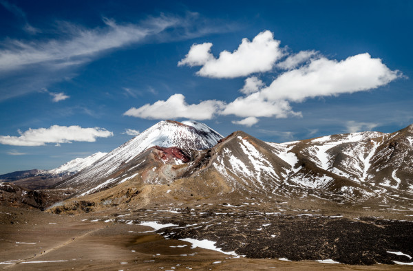
As part of our vacation in New Zealand, Anne and I had a set of “Great Walks” planned. One of those was the Tongariro Northern Circuit that circumnavigates the beautiful volcanic cone of Mt. Ngauruhoe (also known as Mt. Doom in the Lord of the Rings movies). The Northern Circuit is normally a four day walk serviced by DOC huts. However, the weather forecast for the days we had booked was terrible; gale force winds, rain, and a low cloud ceiling which would have precluded any views of the mountains. So we changed plans, looked for a weather opening, and did the one day crossing instead.
The Tongariro Alpine Crossing is billed as one of the greatest day hikes in the world, and I think Anne and I would be compelled to agree that it’s certainly high on the list. Between the well maintained trail and the incredible views it really is a winner. The only drawback was the sheer number of people also doing the crossing, which on the day we made the crossing must have been in the hundreds.
The hike from the trailhead up to Soda Springs crosses sub-alpine scrub, following the course of a small stream. The trail here is exceptional and well graded with many areas having full boardwalks. Views up to Mt. Ngauruhoe only improve with each step.
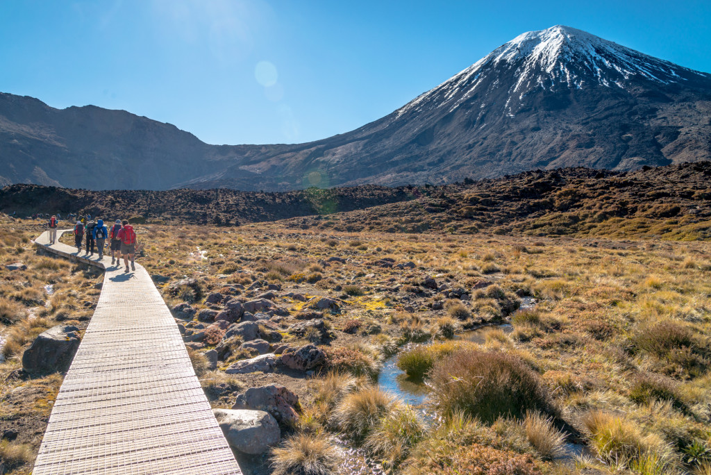
From Soda Springs, the trail climbs steeply up to the South Crater entrance. While steep, this path is still excellent with most of the trail formed into actual stairs. Gaining in elevation, we were able to see Mt Taranaki standing sentinel over New Plymouth some 50 or 60 miles distant. The trail quickly gains elevation, traversing the flank of Ngauruhoe and entering the South Crater where the summit path up Mt. Ngauruhoe branches off.
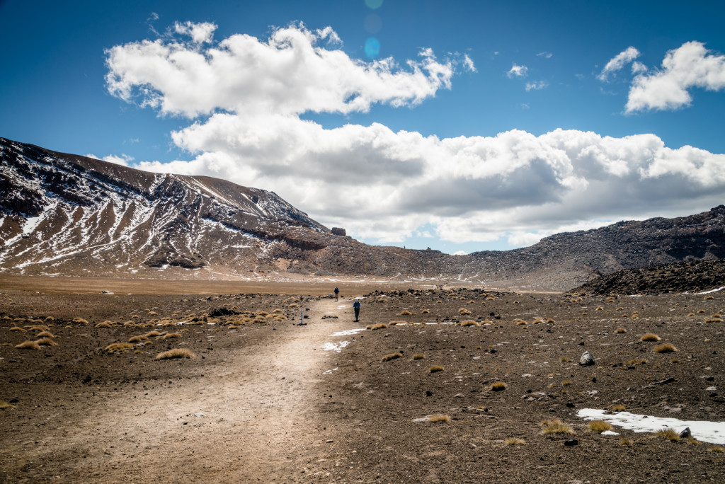
The Alpine Crossing trail continues across the South Crater, which is actually thought to be an in-filled glacial cirque rather than an actual volcanic vent where it climbs again, more steeply, to gain the top of the red crater.
Anne and I took the side trip to the summit of Mt. Tongariro. This was a relatively short detour with limited elevation gain but it provided extraordinary views over the South Crater and across to Mt. Ngauruhoe. The summit rewards hikers with outstanding views in all directions. I think it’s a detour that should not be missed.
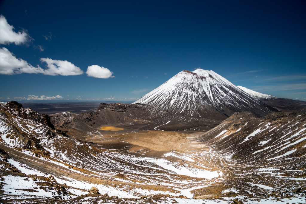
Back on the main trail, the path climbs slightly to a viewpoint over the Red Crater before descending steeply down a very loose volcanic scree slope to the Emerald Lakes.
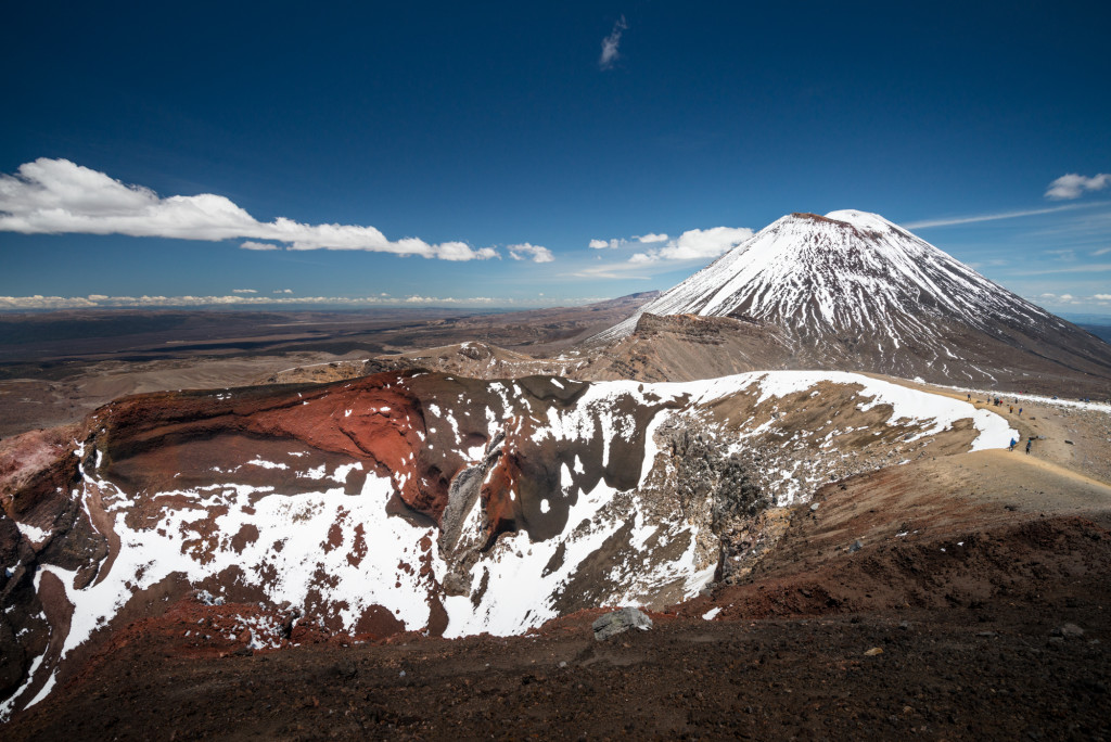
Hikers should take note that at this point the hike is about halfway done, though virtually all of the uphill has been completed.
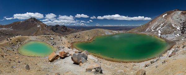
A hike across the Central Crater followed by a short climb brings hikers to Blue Lake, which is actually another crater that’s about 9700 years old. This serves as a wonderful vantage point back across the Central Crater and Mt. Ngauruhoe, which is now partially occluded by the Red Crater and the shoulder of Mt. Tongariro.
The rest of the hike from this point is relentlessly downhill to the Ketetahi Car Park. The trail passes through the active volcanic zone of Te Māri crater where an explosion in 2012 left a hole in the Ketetahi Day Shelter that is still on display.
From the shelter to the car park the trail winds first through alpine scrub before descending into the trees of the forest. This section of the hike is much longer than it appears on paper and should not be underestimated. We were only just able to make our shuttle pick up time 8.5 hours after drop off because we didn’t appropriately estimate how long this last section of the trail was. It should also be noted that even though signs posted times that showed us as on track, these didn’t seem to accurately reflect the time/distance towards the end of the trail. All that to say, if you do the crossing, factor in a little buffer.
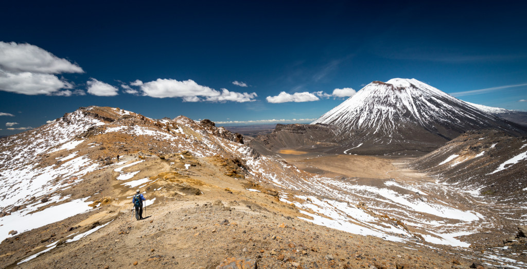
In all, the Tongariro Alpine Crossing was a fantastic day hike. It’s certainly worthy of a top mention for all the day hikes we’ve done in the world, though whether or not it occupies the top slot needs some consideration.
Max elevation: 6457 ft
Min elevation: 2574 ft