09
2014Haute Route Day 10 – Zinal to Gruben
As mentioned previously, from Zinal there are a couple options for hikers on the way to Gruben. Our path led us over the Forcletta directly to Gruben. However, it’s also possible to take a detour towards the Hotel Weisshorn and then pass towards Gruben via the Meidpass. This second option allows trekkers to inject a stay at the Hotel Weisshorn, which is recommended in the guidebook if you have the time to spare. This can also be accomplished as day hike to Gruben by adding on distance and a little more elevation gain.
Because Anne and I were on a tighter schedule than we’d first thought, we needed to head directly to Gruben in order to have a full day to enjoy Zermatt. This led us up towards the Forcletta. The path out of town was a little hard to find and the directions in the guidebook didn’t map well to the surroundings. We headed up past the church and then broke left on a road that led to some construction and finally between the large apartment blocks indicated in the book description. This then led uphill out of town, steadily gaining elevation and traversing along the valley side with intermittent views.
The trail here is well graded, almost flat in fact, and is some of the best trail along the entire route. Here the trail winds into one small side valley at Barneuza before coming back and continuing its traverse down the valley. Before long, a second deeper side valley causes the trail to turn right. At the head of this valley the trail splits, a steep trail cutting right leads to the Forcletta while the well graded path continues along a climbing traverse towards Hotel Weisshorn.
Anne and I headed right and started the steep ascent towards the col. This trail was obviously new, created by some crazed Swiss farmer who drives heavy machinery directly uphill rather than forming more logical and well graded switchback. Here the trail climbs steeply towards a small house and barn where it again levels out, crosses a pasture, and then again climbs steeply towards the col.
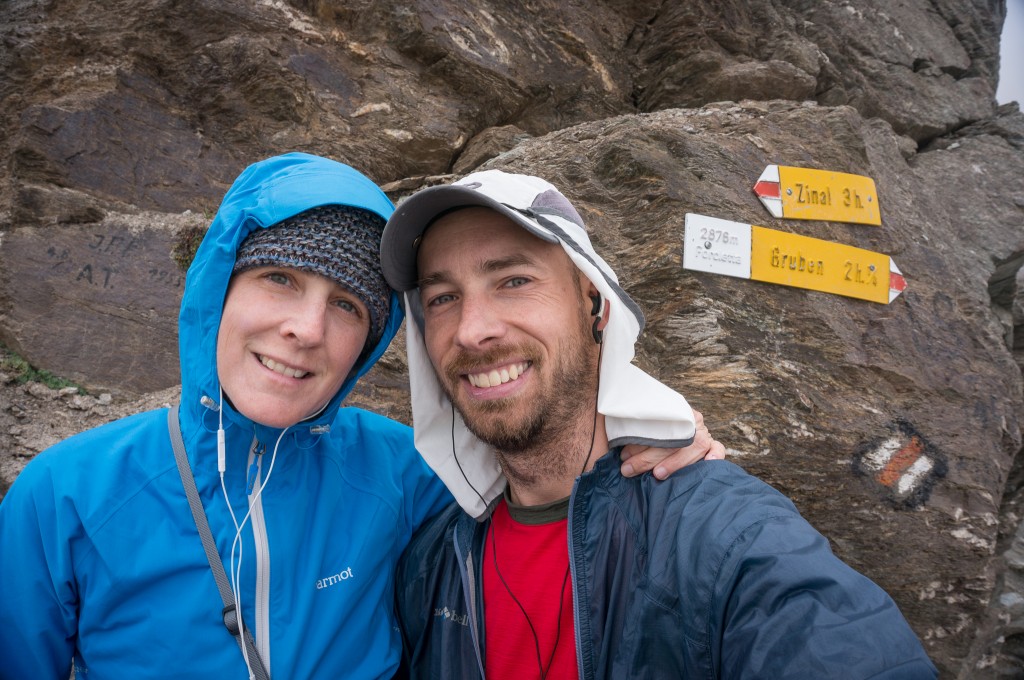
By this time, the pleasant morning weather had given way to clouds, wind, and generally cold temperatures that caused Anne and me to bundle up more than we had in all previous days of hiking. It also meant that the stupendous views discussed in the book were obscured in clouds, a bummer to be sure. We stopped quickly at the pass to take some photos before quickly heading down the other side in search of a respite from the stinging wind and cold.
The trail from the Forcletta drops quickly into a nice alpine meadow. Were the temperatures and light more favorable, this would have been a wonderful place for photography with some small stone pathways, bridges, and serpentine streams flowing.
Before long, we came to a complex of buildings called Chalte Berg where the path becomes faint and hard to follow. Anne and I followed a faint track along a level traverse to the left of the Chalte Berg, which we soon found to be a wrong turn. The correct path leads down the valley just to the left of the road. Hikers can also follow the road since the path eventually joins and then crosses it to head into the valley to Gruben.
The trail cuts the road switchbacks for a little while before heading into the woods and then descending moderately through forest and finally to the valley floor. The trail pops out right into the driveway of a farm and then heads to the stream before turning left and following pasture the rest of the way into town. We made the mistake of trying to follow the trail around the pasture rather than jumping the fence, a choice that seemed logical until we go to the other side of the pasture and were forced to jump over fences.
Gruben is the first town along the path where German is the spoken language rather than French. It’s a little hard to conceive that one valley could be culturally so different from the next. A simple walk of 7 hours and 10 miles makes all the difference in the world! The small town of Gruben is also a wonderfully beautiful town with some old architecture and cute buildings. Alas, Anne and I were both so tired from the day and the weather was threatening such that we didn’t wander and take many photos.
We stayed at the Hotel Schwartzhorn, which is really the only accommodation in town. It was virtually filled and Anne and I were placed in the dorm with a couple of our new friends and a host of others travelling along the way. We made a last minute move to change rooms when one of our dorm mates started snoring, a great reminder that when sleeping in dorm rooms it pays to both bring ear plugs and to try and get dorm rooms with people you know and trust. Thankfully, we slept soundly that night and woke the next morning well rested and charged for our next big day.
Max elevation: 9413 ft
Min elevation: 5502 ft