02
2013Haute Route Day 2 – Col De La Forclaz to Champex Lac (via Fenêtre d’Arpette)
Since we knew we had a big day ahead of us we got an early start. The first part of the path follows an old bisse waterway, which means the path has an almost level grade. The bisse is still there and at various places runs through elevated wooden channels.
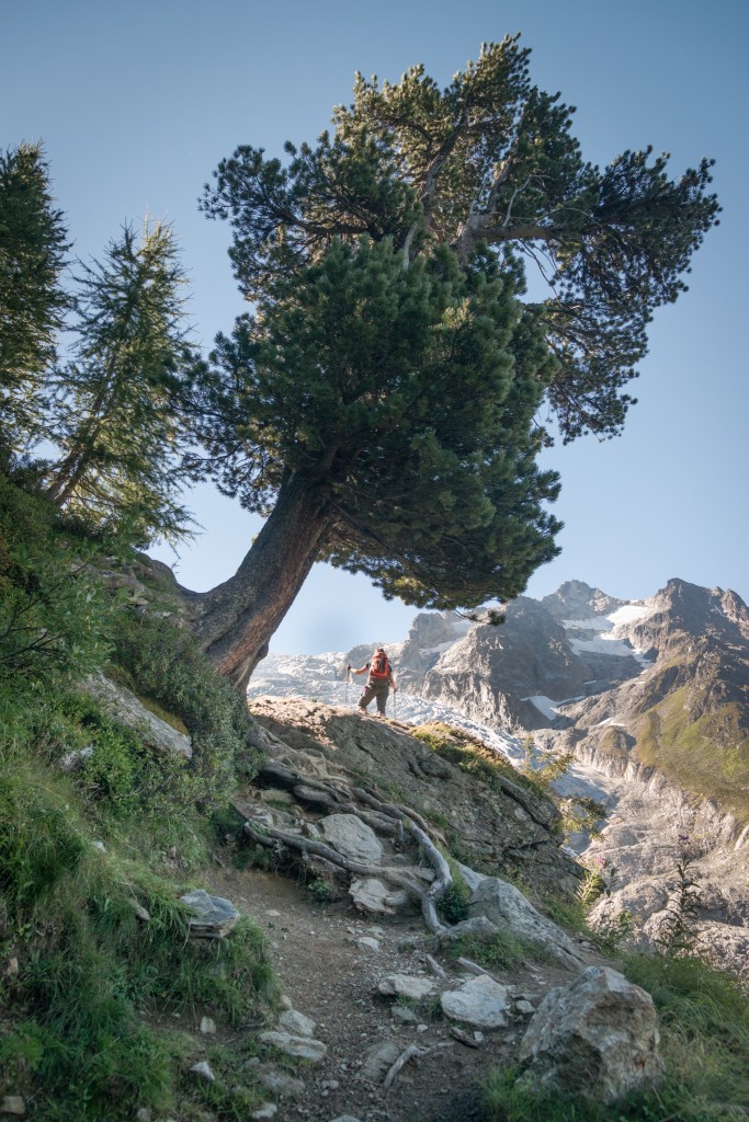
We reached the Château du Glacier hut in good time and were soon gaining elevation over the valley in a steep but pleasant climb that opened spectacular views over the Trient glacier. Because we’d left early the trail was still in the shade until we’d gained over half our elevation for the day — a welcome relief from the heat.
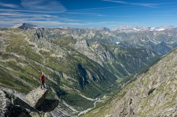
We took a quick snack break at an old shack where Kathy, Val, Rich, and Martijn caught up to us and provided lively banter. It’s pretty hard to understate the views looking back into the valley and over the glacier. I took a lot of pictures as well as some panoramas to try and capture just how awesome the place is.
The final pitch to the Fenêtre goes up a rather rocky and unstable scree slope. We’d had rocks come down the hill at us from unaware hikers above and the loose rock makes the last pitch dodgy. As we finally crested out at the col, we found that we were anything but alone with as many as 40 people lunching and resting. It was far from the wilderness experience Anne recalled from her previous visit here while walking around Mont Blanc ten years before.
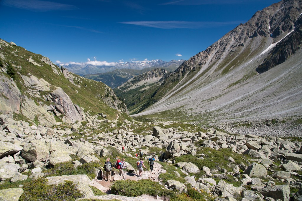
The path down to Arpette and Champex Lac was generally pleasant. The initial descent from the Fenêtre was again steep and scree filled, and was most likely an even worse ascent than what we’d done earlier. Otherwise, it was a nice path along the valley side overlooking remnant lateral moraines.
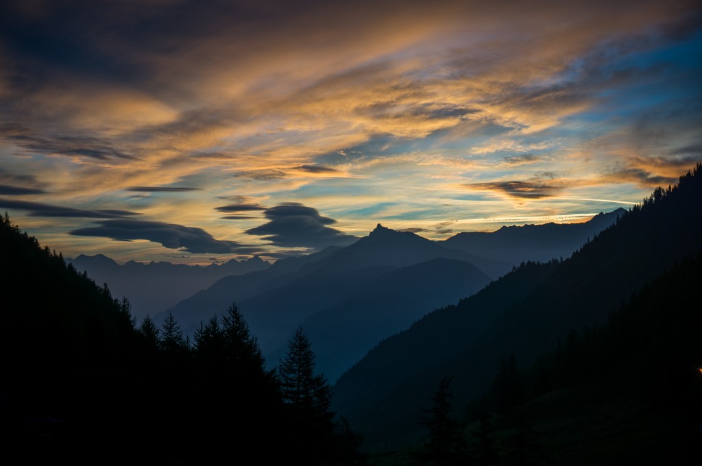
We stopped for beer at the small lodge in Arpette before continuing down to Champex Lac where we stayed for the night at the Pension en Plein Air. Kathy, Val, and Martijn stayed at the same hotel we did, and so we made plans with Rich (who was staying at the far end of the lake) to meet later for dinner. Anne and I cleaned up and then walked along the lake, taking in the last of the sunlight before it dipped behind the mountain, before heading back to a wonderful dinner with our new friends.
A couple notes here for would be travelers:
1) On the path from Arpette to Champex. According to the book “on coming to a bridge cross over, then go right on a footpath… Recross the stream and soon after bear left when the path forks.” The bridge is a road crossing with the footpath following the course of the river just on the opposite side. The left fork diverts down towards the steam, leaving what looks to be the more well-traveled path.
2) There is an ATM in Champex Lac.
Max elevation: 8763 ft
Min elevation: 4957 ft